
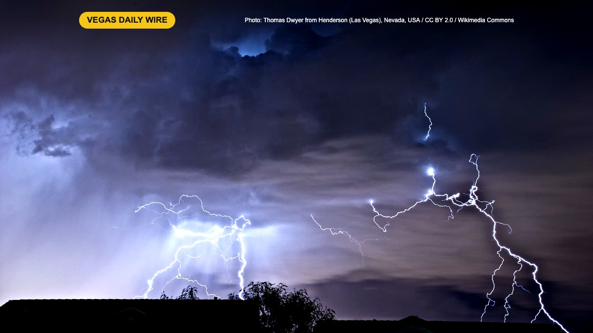
Las Vegas is heading into a wetter, cooler Halloween weekend. Forecasters at two local TV stations say an area of low pressure moving into Southern Nevada brings a slight chance of showers and thunderstorms on Friday, Oct. 30 (Nevada Day). A broader storm follows, with the best rain chances arriving late Saturday into Sunday.
The forecast, day by day
- Friday, Oct. 30: Shower and thunderstorm chances return to Clark and Lincoln counties. Highs in the low 70s (FOX5 says 71°, KTNV says near 73°), with south winds around 5 to 10 mph.
- Saturday, Oct. 31 (Halloween): A slight chance of showers during trick-or-treat hours, according to KTNV, and FOX5 says rain chances build in the afternoon. High near 70°. FOX5 notes that the timing and amount of rain are still uncertain.
- Saturday night into Sunday, Nov. 1: Rain chances go up late Saturday night into Sunday morning, then the rain winds down by Sunday evening. High near 67°. Snow levels start above 8,500 feet, with a few inches possible above 9,000 feet, and drop to about 7,500 feet Sunday evening, so Mount Charleston could see snow.
- Monday and Tuesday, Nov. 2–3: Dry and cooler, with highs about 5 degrees below normal. Breezy to gusty winds Monday ease on Tuesday.
FOX5 also says gusty winds return through the weekend.
What it means for locals and visitors
Parents should check the forecast again Saturday afternoon before heading out to trick-or-treat. A light jacket and a rain plan for kids’ costumes won’t hurt. Strip visitors heading to Halloween parties should expect a cooler night than the 80s many saw earlier this month.
Driver tip: The first rain after a dry stretch brings up oil on the roads and makes them slick, especially at freeway ramps and intersections. Leave extra following distance, slow down, and expect heavier traffic and slower rideshare pickups on the Strip Saturday night if showers line up with Halloween crowds. If you’re headed up to Mount Charleston on Sunday, watch for snow and icy patches at higher elevations.