
Las Vegas, Sunday, Nov. 1, 2026, 5 p.m. Pacific
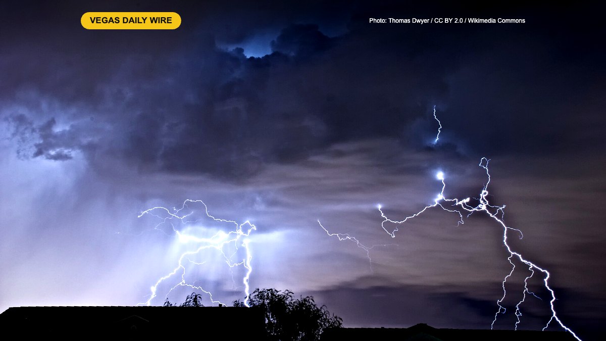
A stormy weekend in Southern Nevada ended with one more punch Sunday afternoon. The National Weather Service issued several severe thunderstorm warnings for the Las Vegas area, including one covering central Clark County: Las Vegas, Henderson, North Las Vegas and Harry Reid International Airport, FOX5 reported.
The warning cautioned about damaging wind gusts of up to 60 mph, large hail and torrential downpours, and officials urged people to shelter inside sturdy buildings, stay away from windows and hold off on travel until the storms passed.
How much rain and wind
According to the FOX5 forecast update, the airport picked up about a quarter inch of rain, with heavier totals in other parts of the valley and in Mesquite. Outflow winds gusted above 60 mph in the Spring Mountains and near 50 mph in North Las Vegas.
Sunday’s storms capped a very wet stretch. The Review-Journal reports October 2026 finished as the second-wettest October in Las Vegas history, after flash flooding hit parts of the valley late last week and a flash flood warning covered North Las Vegas and the northwest valley on Halloween night.
What’s next
Forecasters say drier air is moving back in as the subtropical moisture pulls away. High pressure is building, but temperatures won’t climb much: the warmest day in the coming week looks to be next Sunday at about 73 degrees. Patchy fog is possible Sunday night into Monday morning.
What it means for locals and visitors
- Drivers: Watch for debris, standing water and dark signals after the storms, and give extra room in any morning fog. Never drive through flooded roads.
- Flyers: Check your airline’s app before heading to Harry Reid International.
- Clocks: Standard time started at 2 a.m. Sunday, so make sure your car and older clocks are set back an hour.
- Plan outdoors: Expect a cooler, calmer week, with a jacket for evenings.