
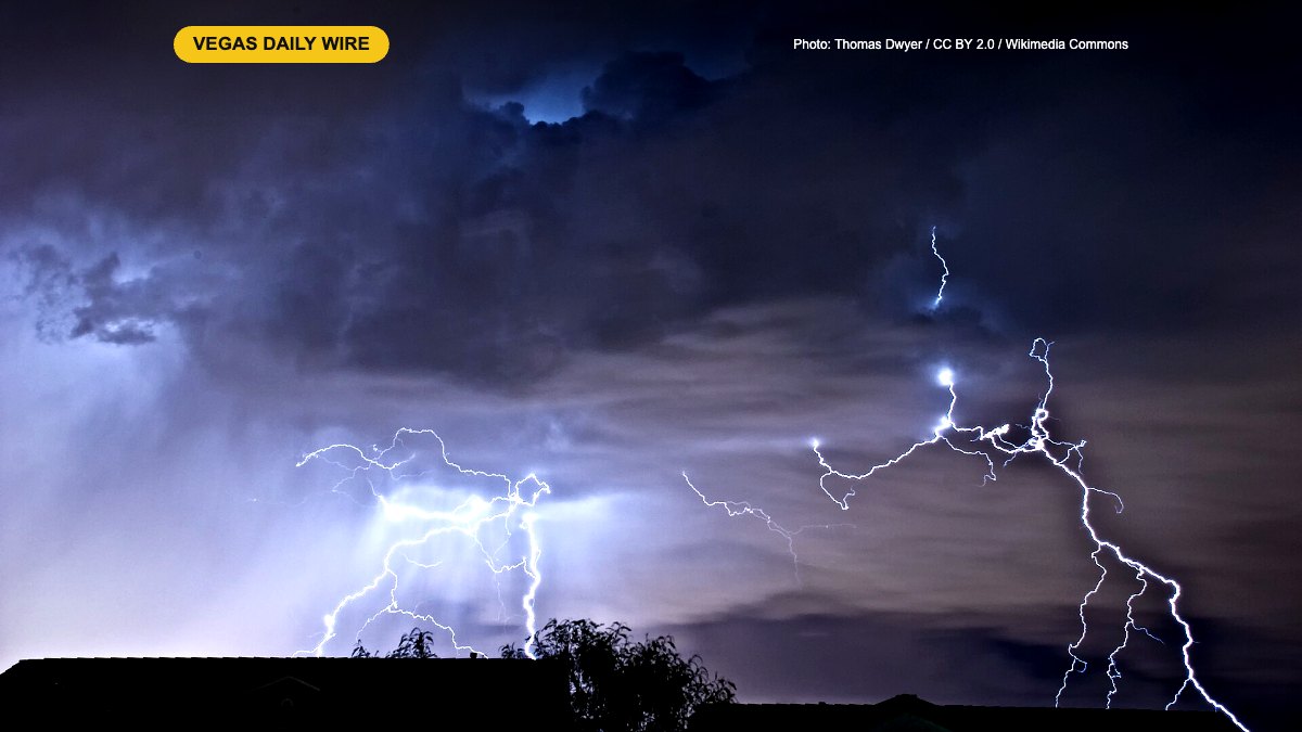
After Las Vegas logged its second-wettest October on record, the Clark County Regional Flood Control District says the valley’s 722 miles of flood channels are ready for whatever an El Niño winter brings. District spokesman Jacob Sanders told KSNV News 3 on Wednesday, Nov. 18, that the system is built to handle heavy storms, and he had a blunt reminder for residents: flash floods are not just a summer problem.
What the district and forecasters are saying
October’s soaking came largely from moisture tied to Hurricane Rachel, with News 3 chief meteorologist Bill Bellis noting that about two inches of rain fell in less than six hours during the heaviest stretch. That kind of burst is what the flood control network is designed for. Sanders explained that neighborhood streets are part of the system: runoff moves from the street into the channels and eventually drains toward Lake Mead. The district is also adding underground systems that steer water away from homes and businesses, guided by a long-range plan that looks years ahead.
Sanders’ main message was that “it can flash flood any day of the year,” even though Southern Nevada usually thinks of July through September as flood season.
As for El Niño, which usually means more moisture across the Southwest from late fall into early spring, Las Vegas sits on the northwestern edge of the strongest effects. Bellis said Southern California and central and southern Arizona are more likely to see big rain totals. Past strong El Niño winters here have varied a lot: more than three inches from December through February in 1997-98, about half an inch in 2015-16, and a little over 1.5 inches in 2023-24. His best guess for this season is lighter rain spread out over time rather than intense downpours.
The next test arrives quickly. FOX5’s forecast calls for light to moderate showers Thursday, Nov. 19, with a high near 58 degrees, gusts up to 30 mph, slick roads and possible minor street flooding, plus up to 4 inches of snow on Mount Charleston. Drier, cooler weather is expected Friday through the weekend, with another storm possible ahead of Thanksgiving.
What it means for locals and visitors
- Turn around, don’t drown. The flood district says just six inches of moving water can make a driver lose control, and one foot of water can float most cars. Nearly half of flood deaths involve vehicles.
- Stay out of washes, channels and detention basins at all times, even on dry days, since water can move through them with little warning. Keep kids and pets away.
- Wait it out. Most valley storms pass in a couple of hours, so delaying a drive is often the safest option.
- Visitors in town for Grand Prix week should expect wet sidewalks and roads Thursday, allow extra travel time, and pack a warm layer for the cold nights ahead.
- Heading to Mount Charleston? Check road conditions and carry chains or traction devices after Thursday’s snow.
Leave a Reply