
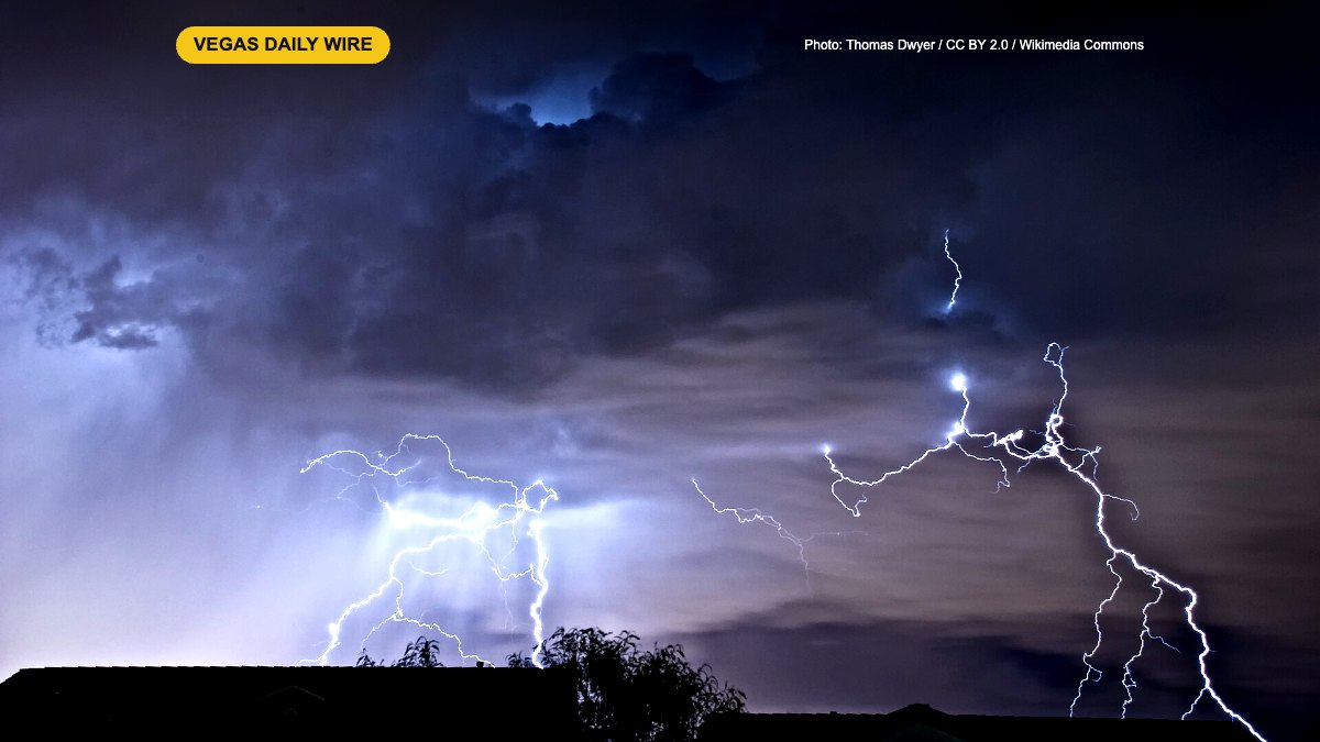
A fast-moving round of thunderstorms slammed parts of the Las Vegas Valley on Friday afternoon, Oct. 30, dropping hail and torrential rain, flooding streets in the east valley, knocking out power to thousands of NV Energy customers and briefly halting flights at Harry Reid International Airport. The National Weather Service put much of the valley under flash flood warnings into the late afternoon and called the situation dangerous and potentially life-threatening.
Key Takeaways
- Flash flood warnings covered the Strip, downtown, east Las Vegas, North Las Vegas and Henderson into the afternoon (until at least 4 p.m. for the Las Vegas side and 3:45 p.m. for the Henderson side).
- The weather service said up to 1 inch of rain had already fallen; hail and torrential rain were reported in the east valley.
- Water rescues were reported along Lake Mead Parkway in Henderson, according to PulsePoint.
- NV Energy reported more than 4,000 customers without power as of about 1:40 p.m., mostly in the central valley.
- Harry Reid International Airport had a lightning-related ground stop; the FAA showed departure and arrival delays.
Where it hit hardest
The NWS issued a severe thunderstorm warning for the east side of the valley until 1:45 p.m., citing public reports of hail and torrential rainfall. Heavy flooding was reported on Eastern Avenue north and south of U.S. 95. One flash flood warning covered southwestern Clark County, including Las Vegas, North Las Vegas, Fremont Street, the Strip, Paradise, UNLV, Nellis Air Force Base and the Las Vegas Motor Speedway. A second covered central Clark County, including Henderson, Lake Las Vegas and Railroad Pass.
Forecasters urged people not to travel unless they were leaving a flood-prone area or were under an evacuation order.
Power and the airport
NV Energy’s outage map showed at least 1,620 customers out around Eastern Avenue and Bonanza Road at about 1:30 p.m., and the total topped 4,000 a few minutes later. At the airport, lightning led to a ground stop, and FAA data showed departures running about 15 minutes late and arrivals about 23 minutes late on average, with staffing issues also playing a part.
Halloween weekend forecast
The wet pattern isn’t done yet. FOX5 forecasters expect a high near 71 degrees on Halloween Saturday with possible showers in the evening while trick-or-treaters are out, and rain chances climbing overnight into early Sunday. Sunday looks cooler, around 67, before drier but breezy weather returns Monday.
What it means for locals and visitors
If you’re driving, never cross a flooded road or wash: turn around. Expect slow traffic, dark signals where power is out, and possible flight delays if you’re headed to Reid. Rideshare riders and drivers should leave extra time and build in a backup plan for Halloween night, and keep an eye on NWS alerts before heading out.
Sources
- News 3 Las Vegas: Heavy rain, flooding and hail hit parts of Las Vegas valley
- KTNV: Powerful storm prompts flash flood alerts for Las Vegas area
- FOX5: Rain moves into Las Vegas for Halloween weekend
Update, 2 a.m. Saturday, Oct. 31: Henderson city officials said one person died after Friday’s flooding. Henderson Fire crews pulled the person from a wash near Lake Mead Parkway and North Pueblo Boulevard; the person went into cardiac arrest and died at a hospital. In two other rescues, crews removed two people from a vehicle swept off Lake Mead Parkway east of the Lake Las Vegas entrance, and a driver who climbed onto the roof of a stalled vehicle at Milan and Drake streets was rescued. No injuries were reported in those two rescues. More rain is in the Halloween forecast, so never drive into flooded roads or washes. Source: FOX5.